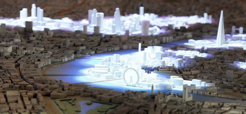

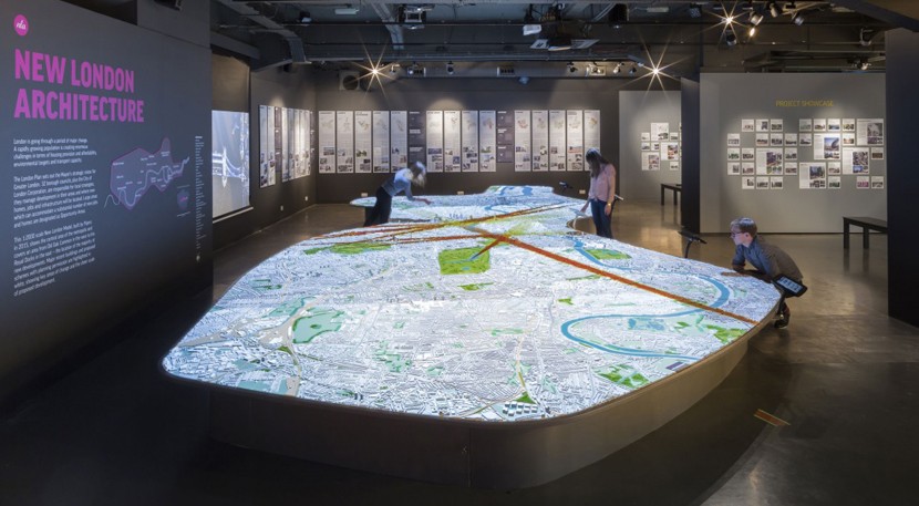
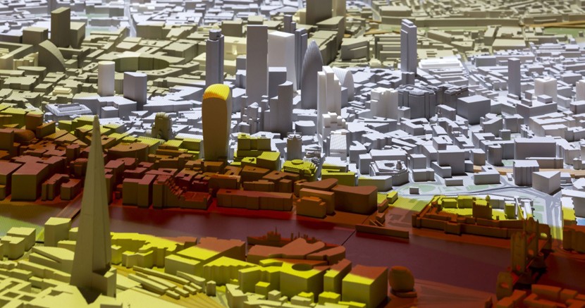
A gigantic interactive map almost 13 metres long was unveiled recently at the New London Architecture Galleries at The Building Centre in London, which aims to help the general public and tourists alike explore the past, present and future landscapes of the city. The model was commissioned by NLA and designed by Pipers design and model making group, with data supplied by Ordnance Survey, Britain's official mapping agency. The ambitious map represents an area covering 85 square kilometres of London in a 1:2000 scale, and includes all 19 London boroughs and 170,000 individual buildings, as well as the 21 bridges scattered up and down the river Thames. It will also continue to be updated with future projects that have planning permission or are under construction.
The map synchronises with a series of films and interactive terminals, which reveal the shifting landscape of the big smoke through digital animations projected across the model's surface. The animations are controlled via bespoke touch-screens, which also bring up detailed information, including facts on new buildings and proposed projects which will become part of the landscape in the near future. The touch-screens also include a search function, which allows visitors to type in the name of a building, architect or developer, with the results lit up on the map.
A gigantic interactive map of London was unveiled recently at the New London Architecture Galleries at The Building Centre in London
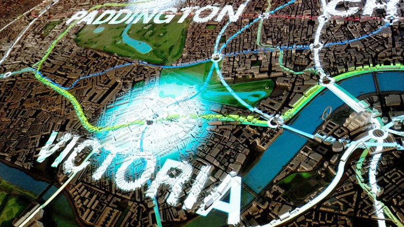
Behind the map itself there is also a large screen showing interactive films telling visitors more about the architectural history of the city. The films are synched with activity on the map and trigger lighting and audio activity, with key areas mentioned in the films lit up to highlight discussion points. Films are triggered by the visitors, and cover a wide range of topics such as the history and development of the city, the impact of The London Plan, the future of infrastructure in the capital, and the rise of taller, more elaborate buildings such as The Shard.
Additional lighting and audio also helps tell famous London stories such as the Great Fire of London in 1666, which fills the city's Square Mile in vibrant red and yellow flames as the rest of the map is plunged into darkness. According to the NLA, this feature has been used to “Highlight the terror and devastation that ravaged London,” and is just one of many interactive stories told through the map's unique blend of modelling and animation. Visitors can also track the route and the impact of future major construction projects like HS2 and Crossrail 1 and 2 routes on central and greater London.
The map synchronises with a series of films and touch-screens, which reveal the shifting landscape of London through digital animations projected across its surface
The model opens today, and marks the tenth anniversary of the NLA. It is replacing a smaller interactive map model, which was installed when the organisation was first set up. The map itself was created using a combination of 3D printing and laser cutting, and took model makers Pipers around four months to build. David Roberts, Ordnance Survey land and property strategic relationship manager, said: “It is exciting to demonstrate in such a visual way how the use of OS information and solutions can underpin the work of developers, the insurance and legal industries as well as transport planners. OS is driving several exciting advances in 3D and the built environment right now and the opportunity for us to include our premier mapping, building heights and imagery data into the new model has clearly helped reduce the time and costs in production.”


Diana April 25th, 2015, in the morning
"Please note that the New London Model’s full digital system will be live from 21 May." - http://www.buildingcentre.co.uk/exhibitions/new-london-model