FourPoint Mapping
Stroud
ABOUT
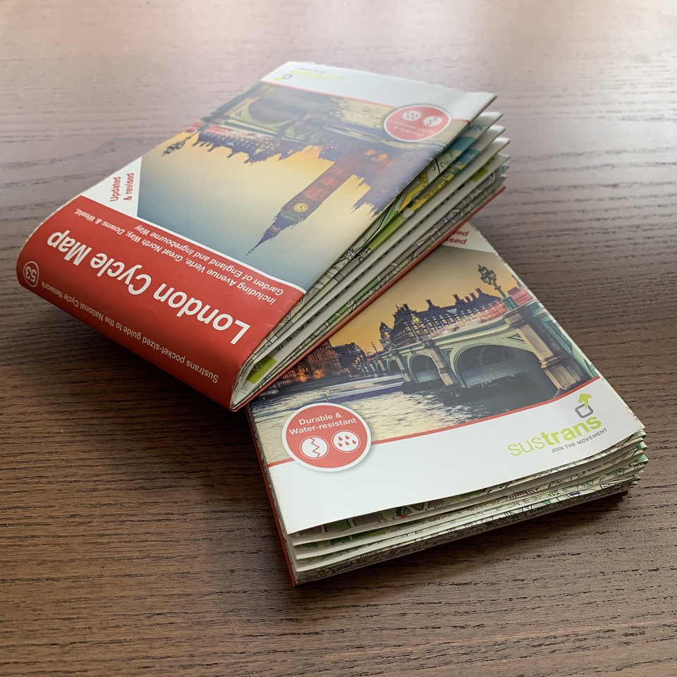
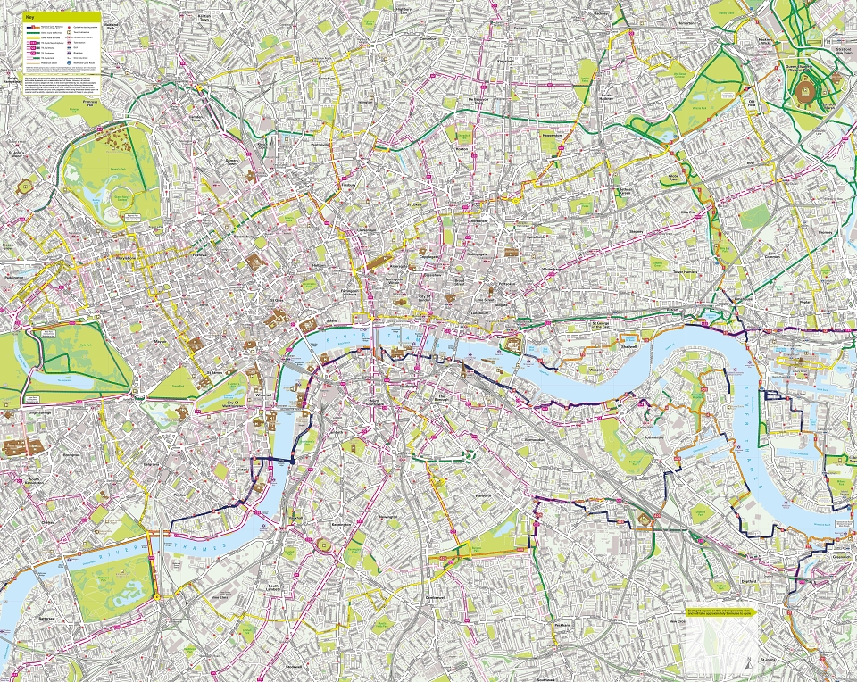
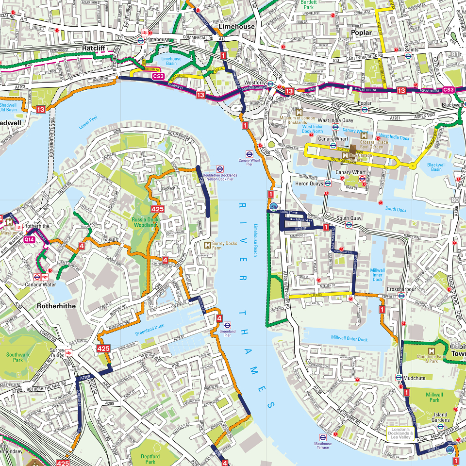
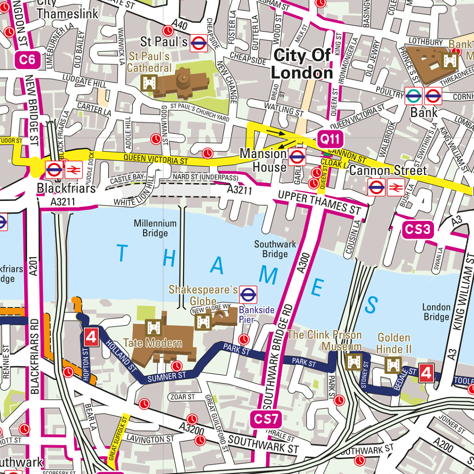
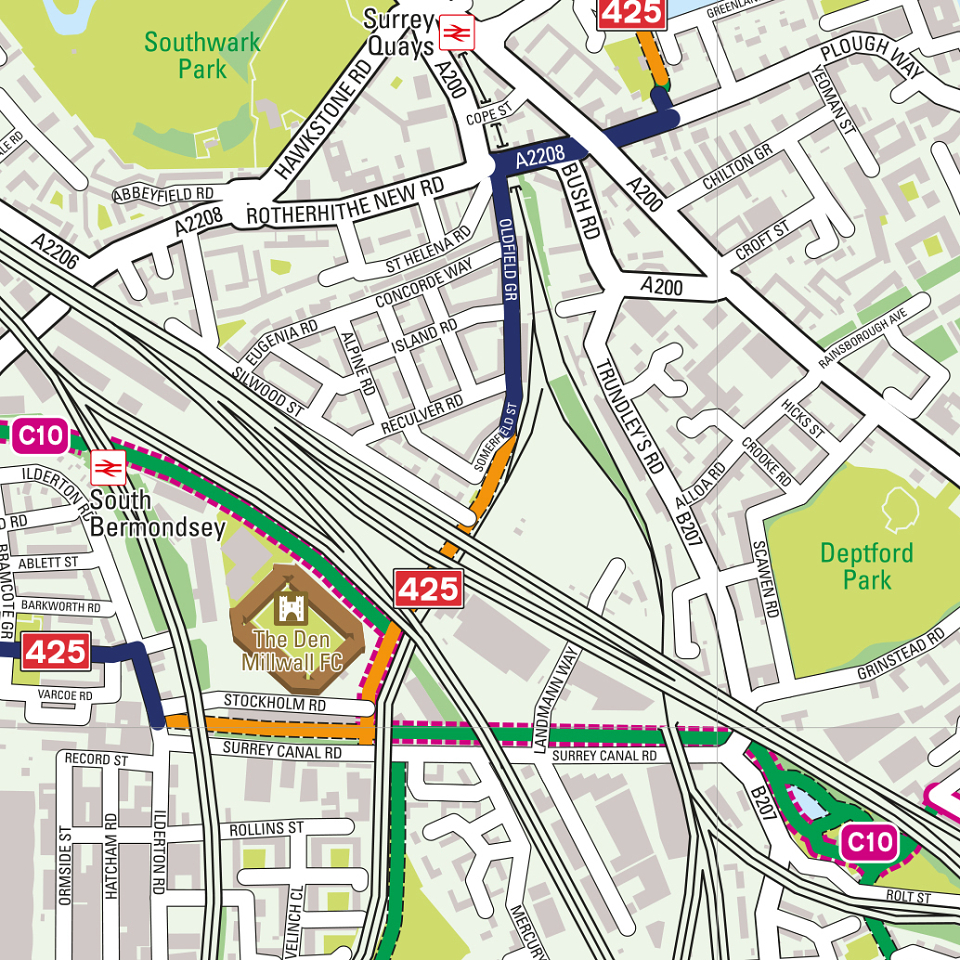
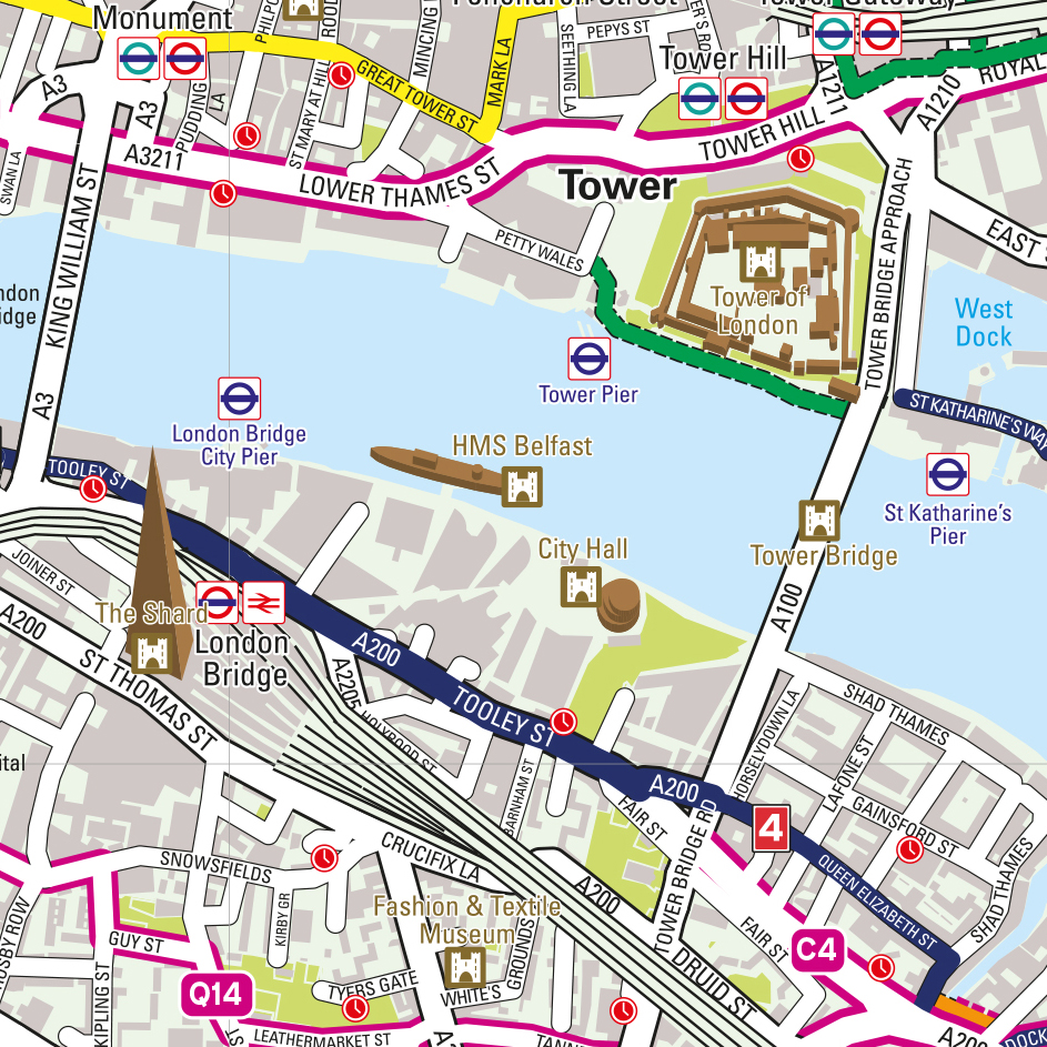
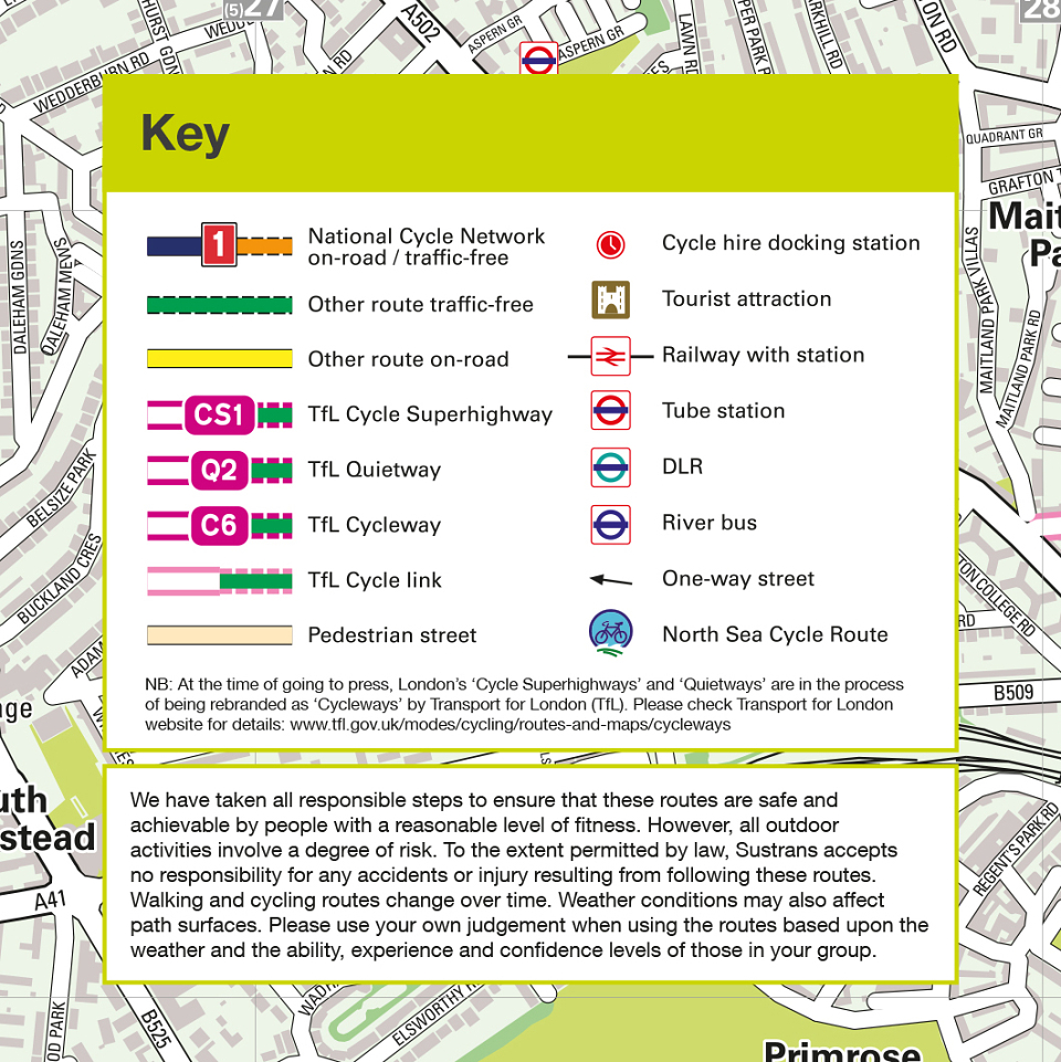
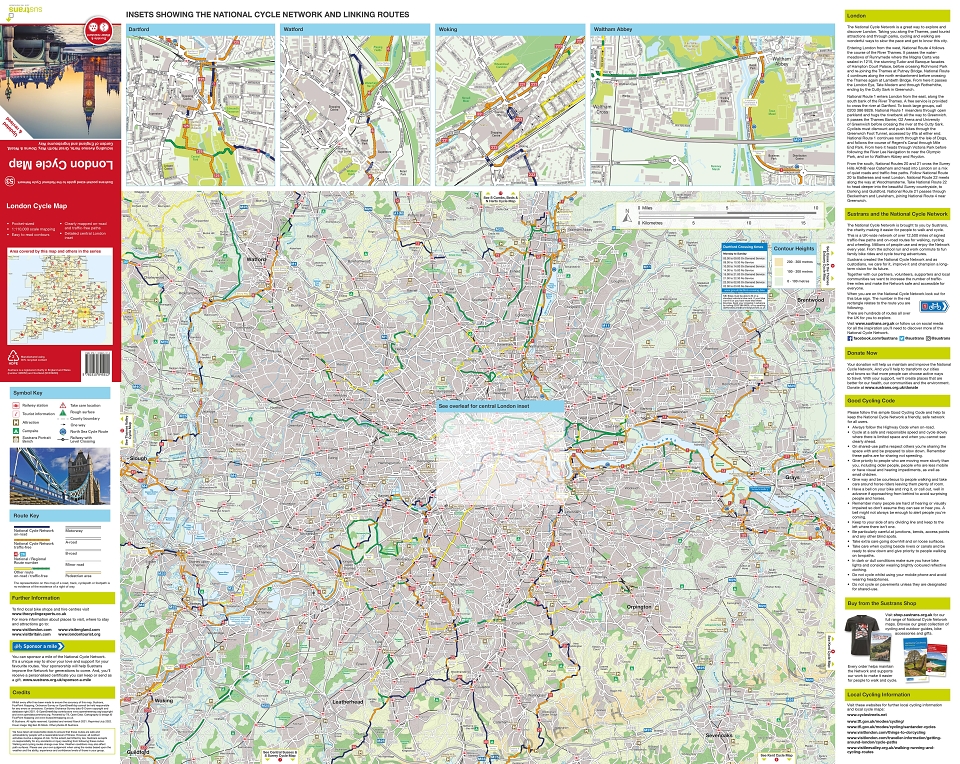
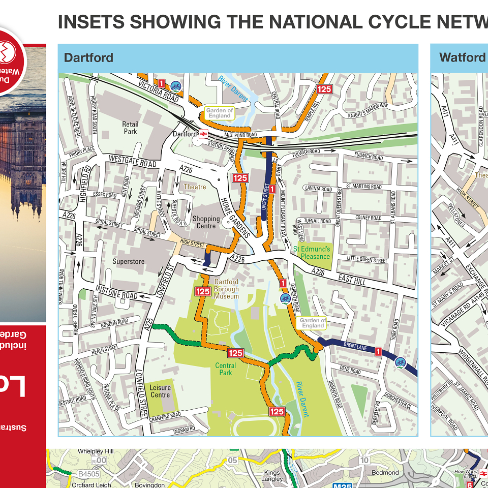
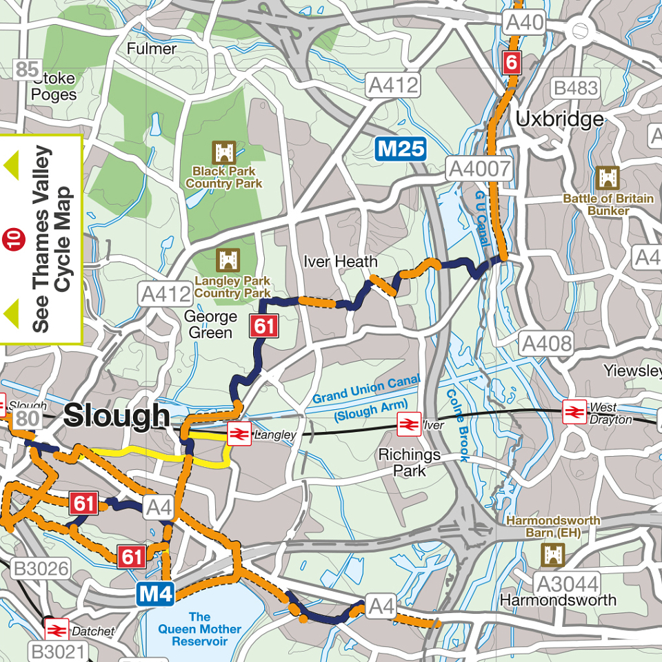
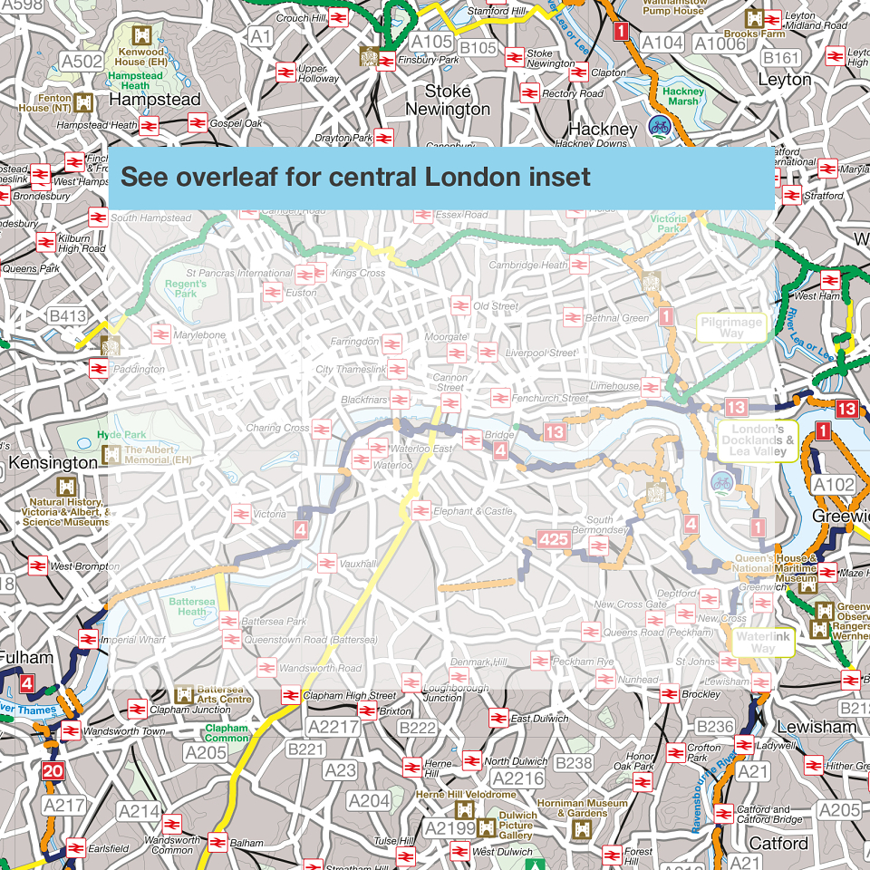
This is part of a UK-wide series of 56 ‘Pocket Maps’ commissioned by Sustrans covering the whole of their National Cycle Network (NCN). They are aimed at the leisure cyclist, and give a good overview of recommended cycle routes across all of the UK. Printed on durable and water-resistant synthetic paper, each manageable 792mm x 630mm sheet folds to a handy pocket-size (99mm x 157mm) and covers an area of 6,125 square kilometres. The base-mapping features 5km grid-squares and contour lines at every 10 metres which are banded into 100-metre coloured backgrounds. The London map is slightly different in format: one side covers 108 square kilometres of central London (showing 1km grid squares) at a scale of 1:15,000 and, in addition to showing the National Cycle Network in central London, features extra information such as street-names, bike-hire points, ferry crossing times, Cycleways (formerly Cycle Superhighways and Quietways) and some linking routes. The other side of the map features an overview of the NCN in Greater London at the standard scale (1:110,000) and style of the rest of the series, and has four town centre inset maps at 1:10,000 showing the NCN through the towns. All 56 titles in this incredibly popular and successful series were recently updated and reprinted, and the London map is now approaching its fourth edition.