FourPoint Mapping
Stroud
ABOUT
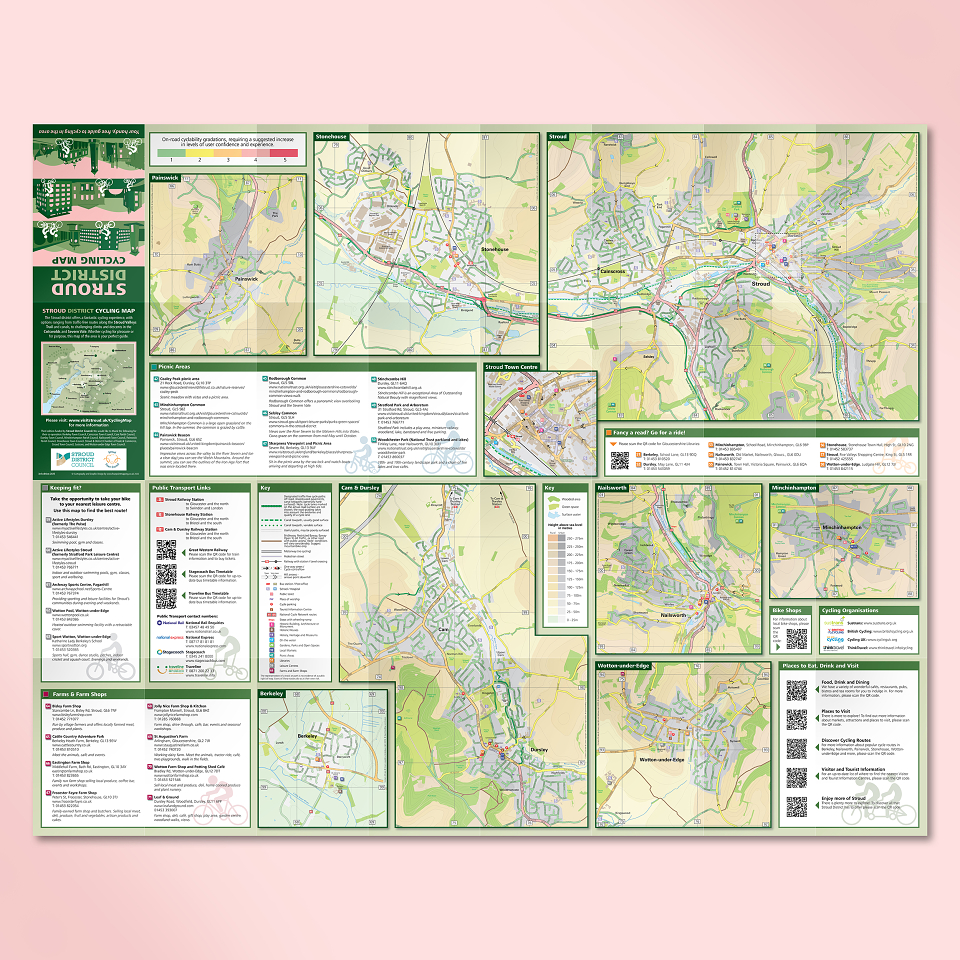
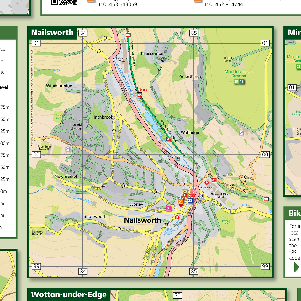
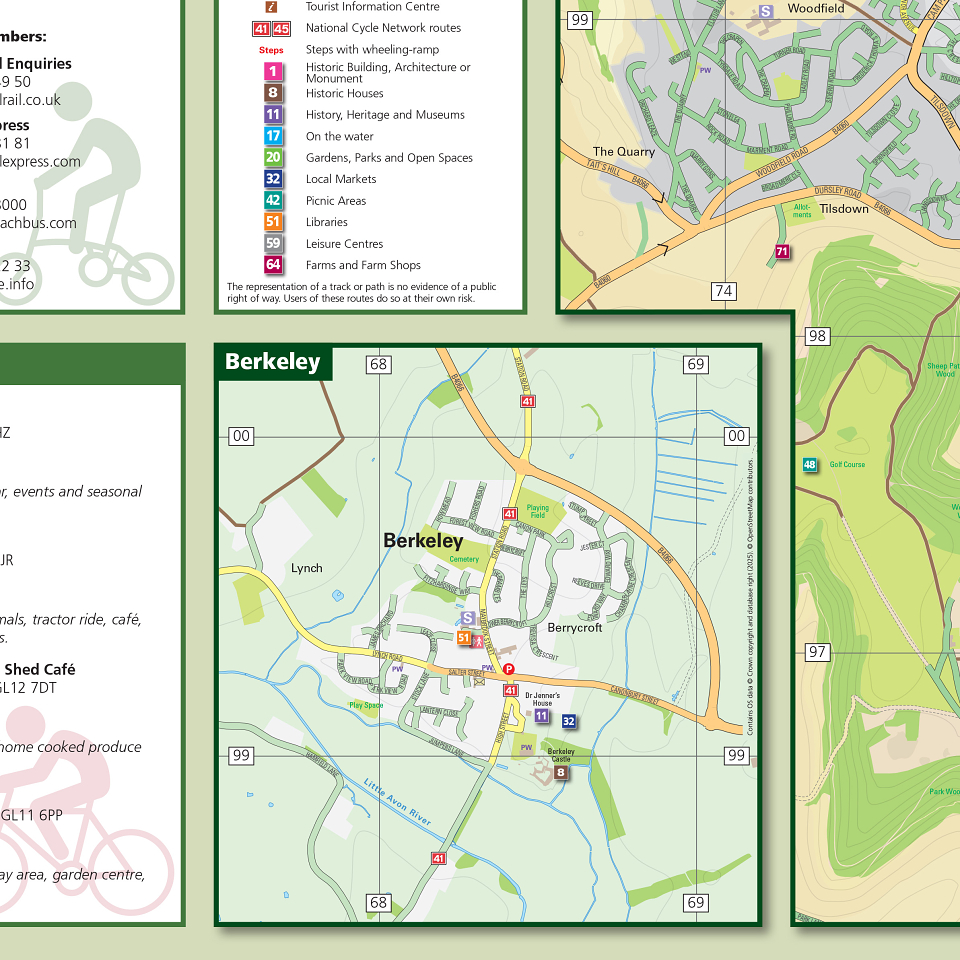
We’ve been producing the Stroud Cycle Map since its first incarnation in 2007. The 2025 version includes countless updates to the mapping and content, as well as new, additional urban maps for the towns of Minchinhampton, Painswick and Berkeley.
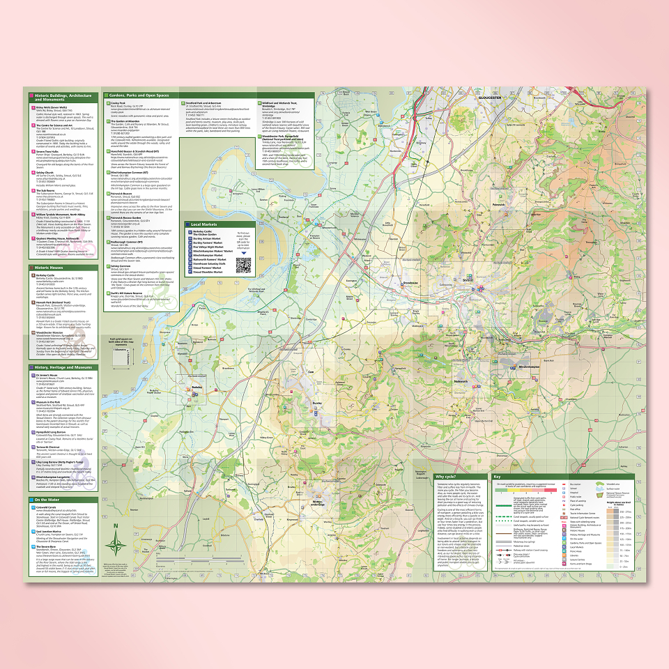
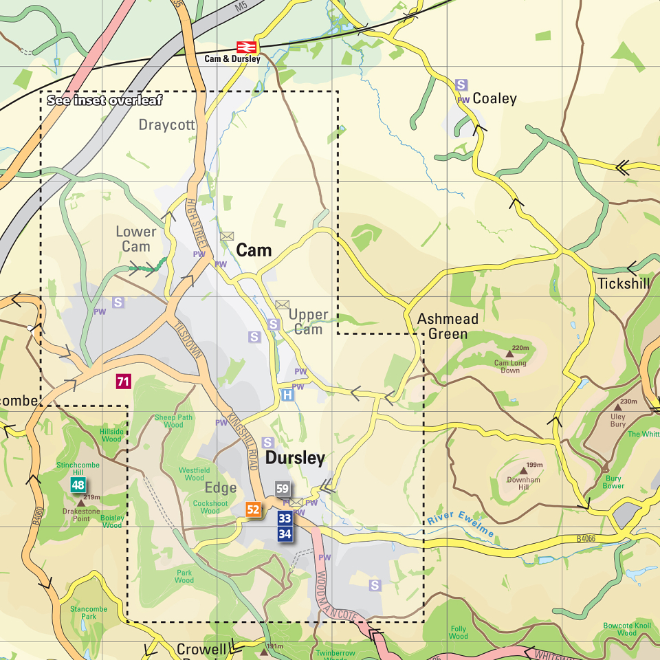
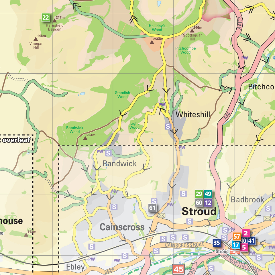
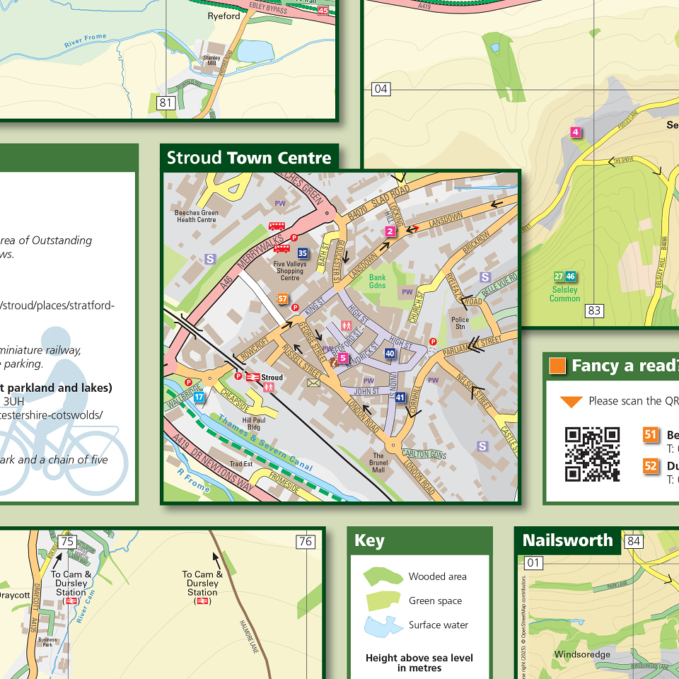
It’s a large-format map at 792mm x 630mm, but folds to handy pocket-size of 99mm x 157mm. The ‘rural’ side is at a scale of 1:46,000, and there are eight urban, town maps on the reverse at 1:15,000 (and a town centre inset of Stroud at 1:10,000). Packed with useful information, this incredibly useful guide will hopefully go some way to encourage residents and visitors to explore the region by bike.
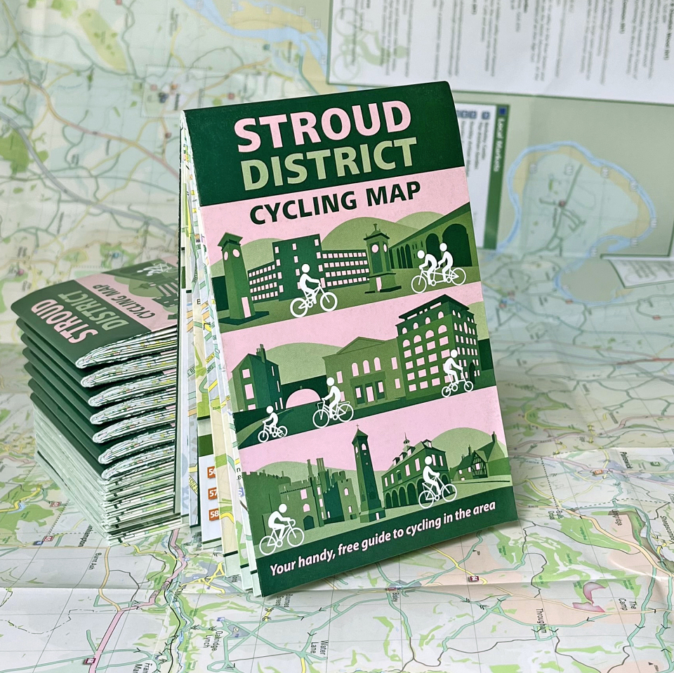
The new-look cover - which we also designed - features some of the famous buildings you can find around the district. The Dursley Town Hall image has a stylised gentleman riding a ‘Dursley Pedersen’ in front of it: patented in 1890 by local inventor Mikael Pedersen, by the 1920s 30,000 of these uniquely-designed bicycles were made in the town.