FourPoint Mapping
Stroud
ABOUT
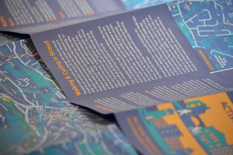
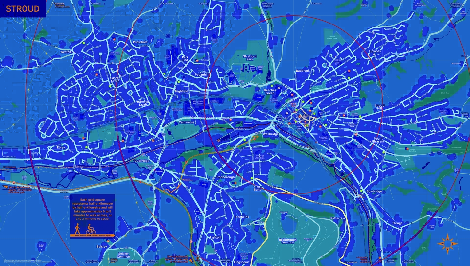
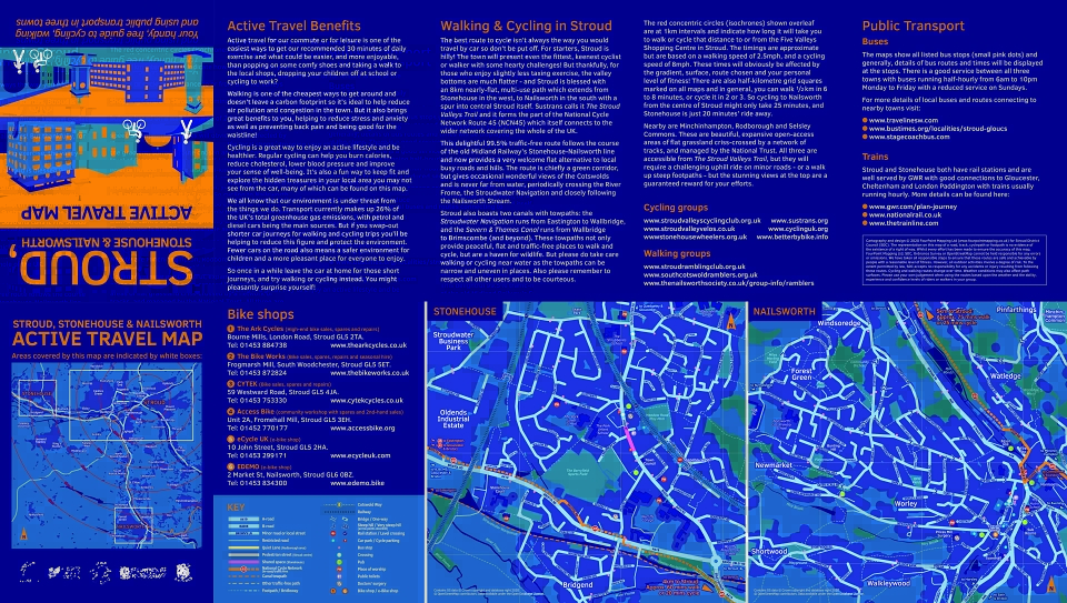
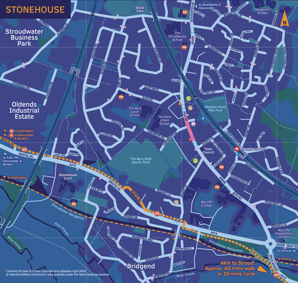
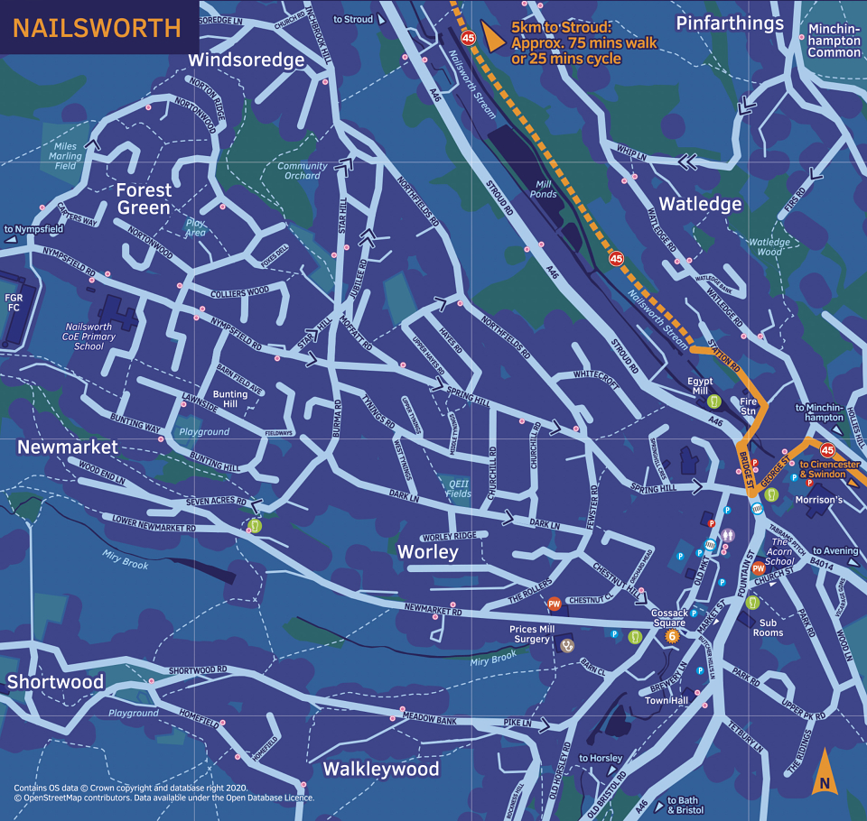
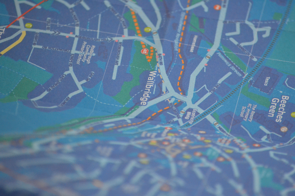
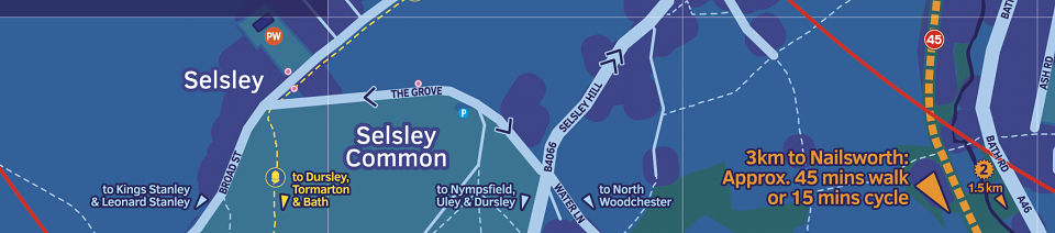
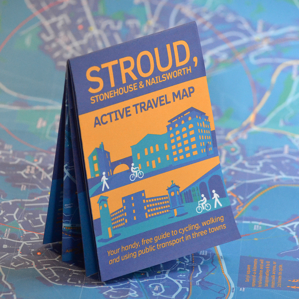
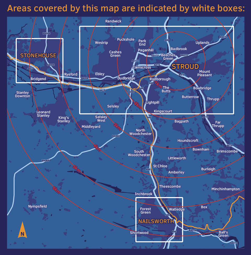
Active Travel Map for Stroud and its two neighbouring towns of Stonehouse and Nailsworth. The map and leaflet aims to promote cycling and walking in-and-around the three towns by showing potential users all the car-free routes available to them, and is packed with useful information to help them get around on foot, by bicycle, or on public transport. At a scale of 1:10,000 the 525 x 297mm sheet folds conveniently to A6 (148 x 105mm). Printed on 100% recycled stock. FourPoint Mapping took a holistic approach to this project: not only did they create all the cartography, but made site visits to check details, designed the leaflet including the cover illustrations, researched the content, and wrote all the copy.