FourPoint Mapping
Stroud
ABOUT
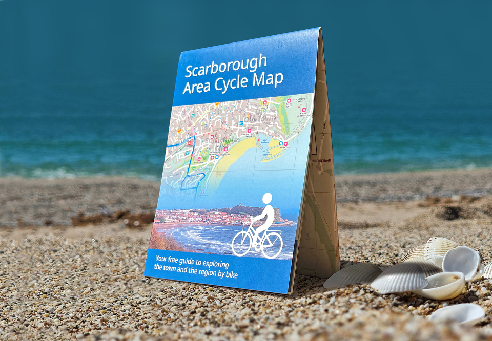
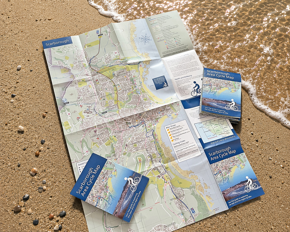
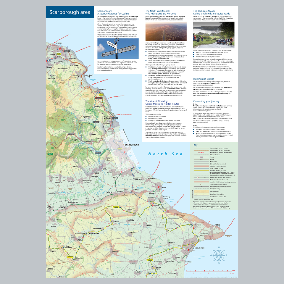
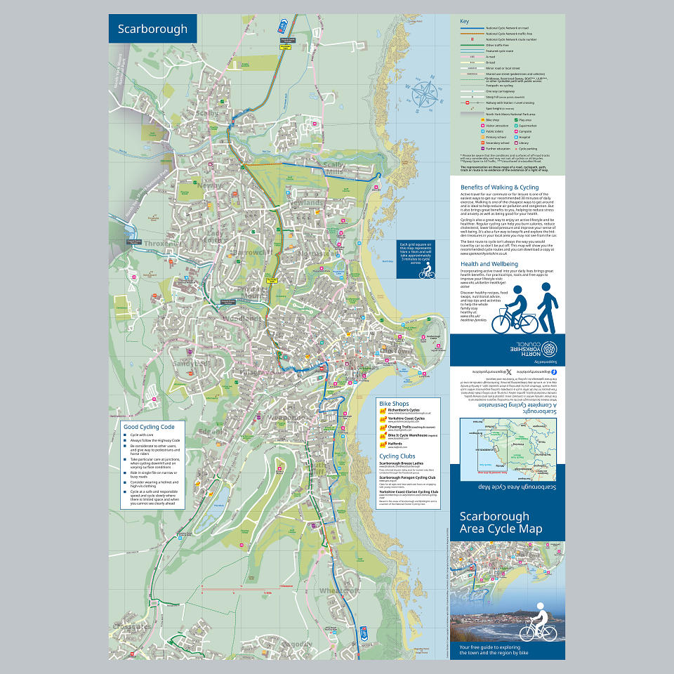
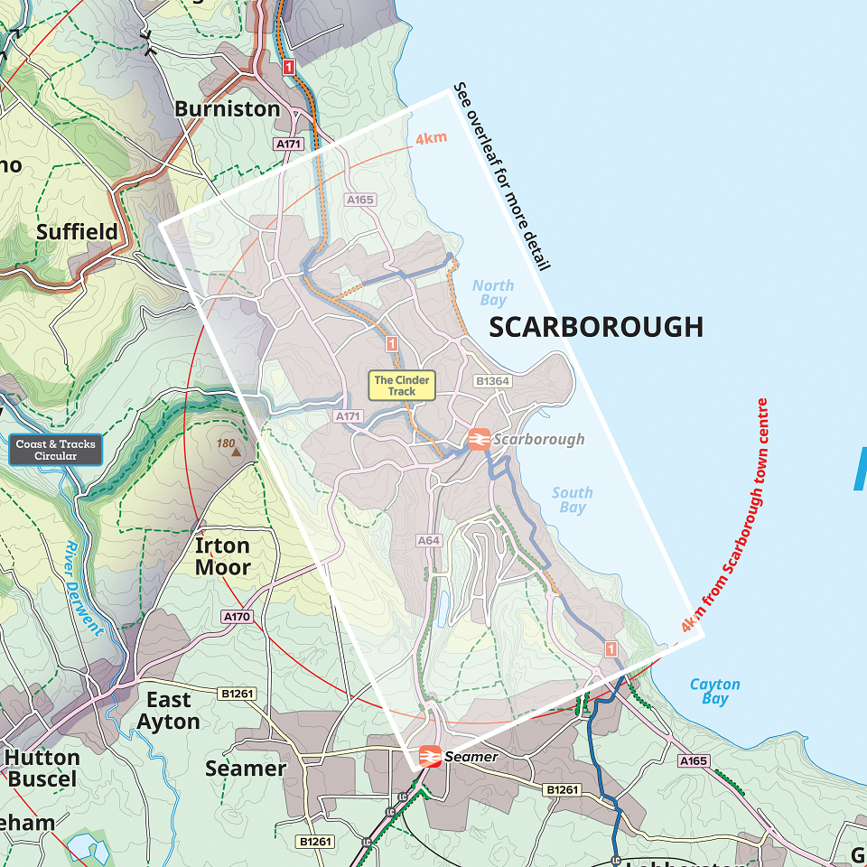
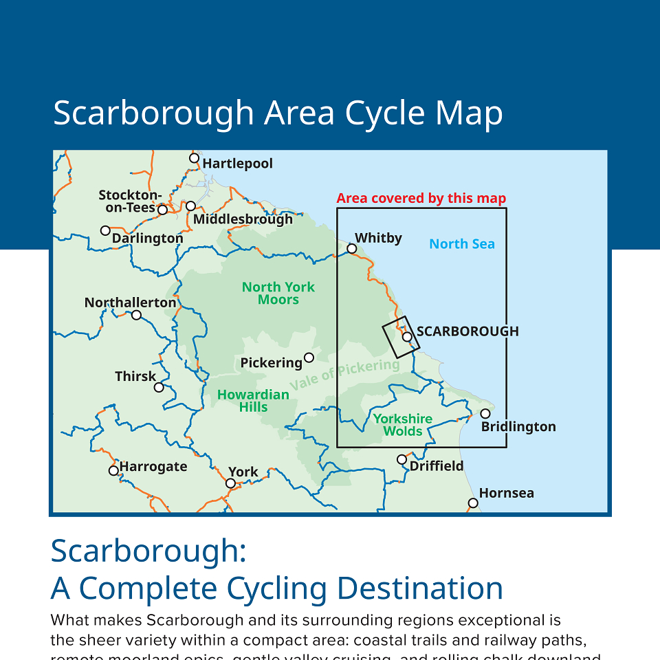
A little while ago, North Yorkshire Council approached us to ask if we could create a cycle map for the coastal town of Scarborough. We suggested that an A2 sheet would be the ideal format, with one side focusing on the urban area, while a smaller-scale map of the wider region could be shown on the other.
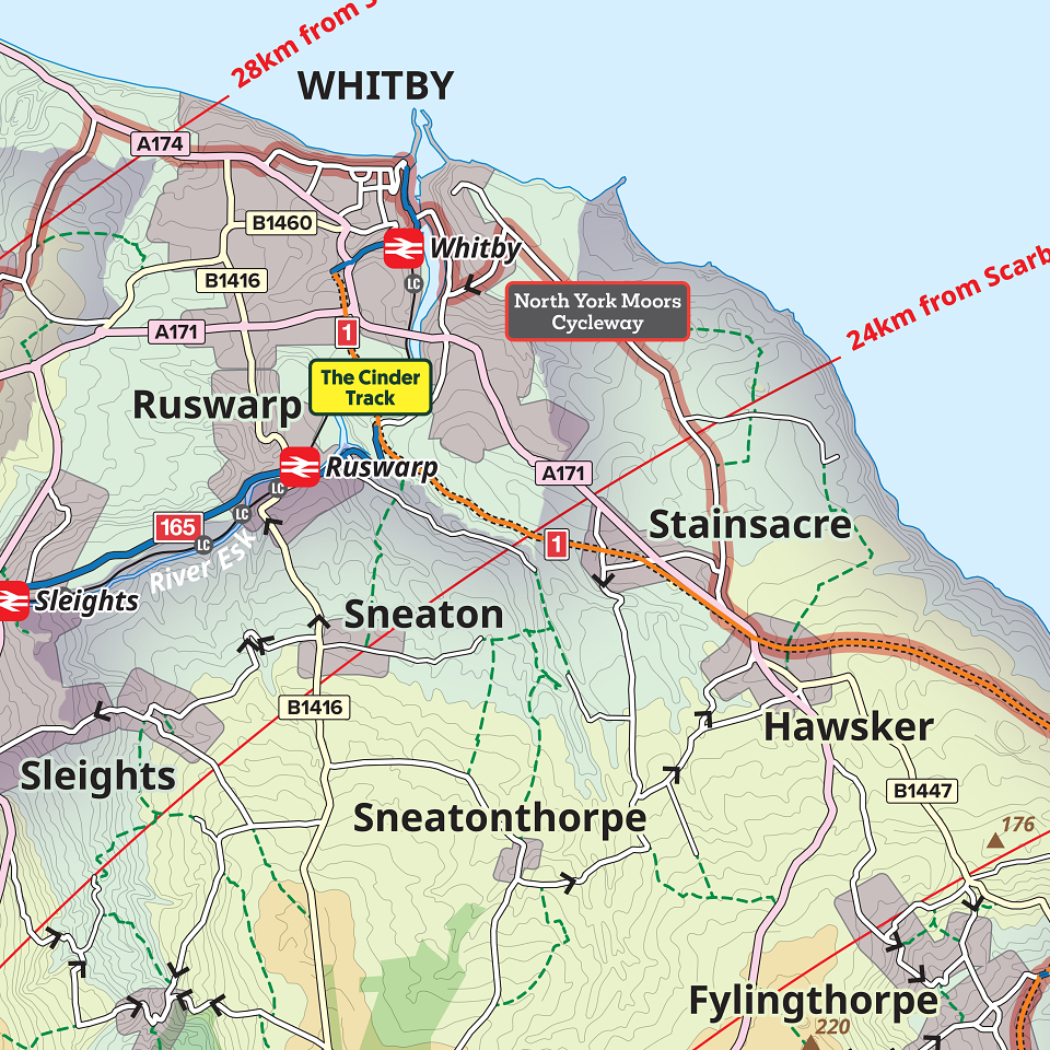
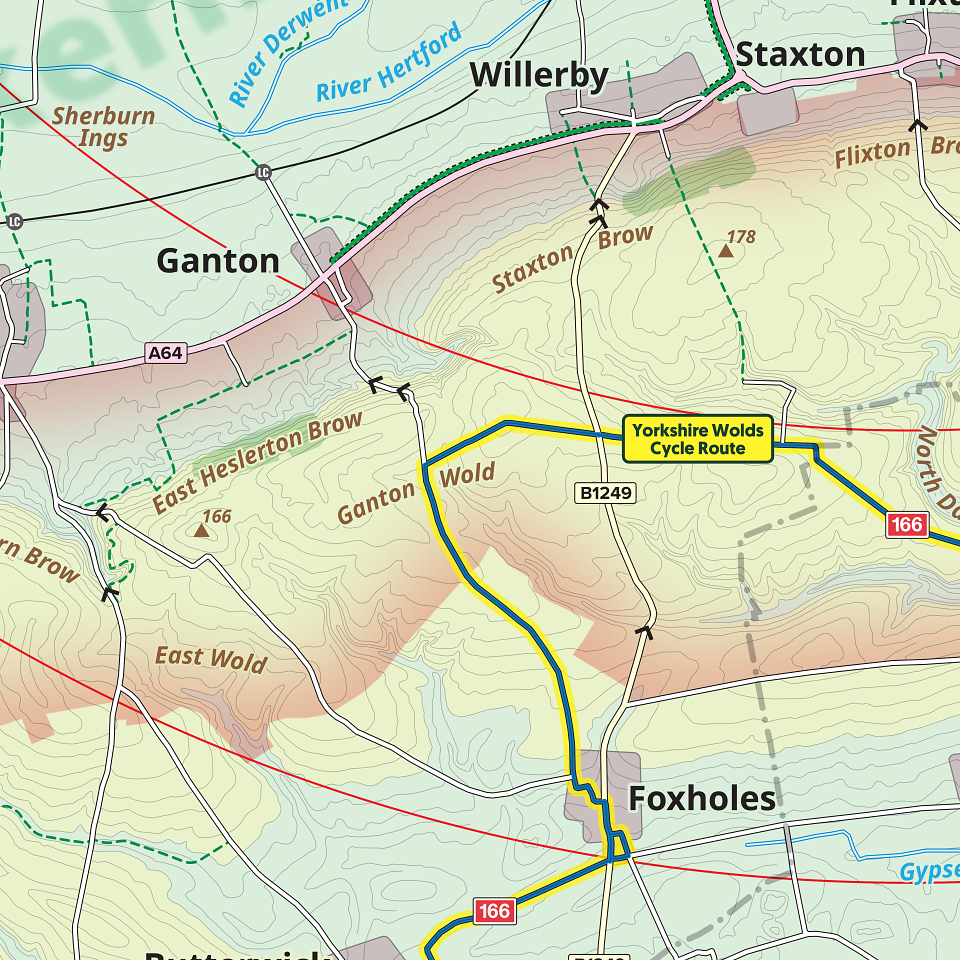
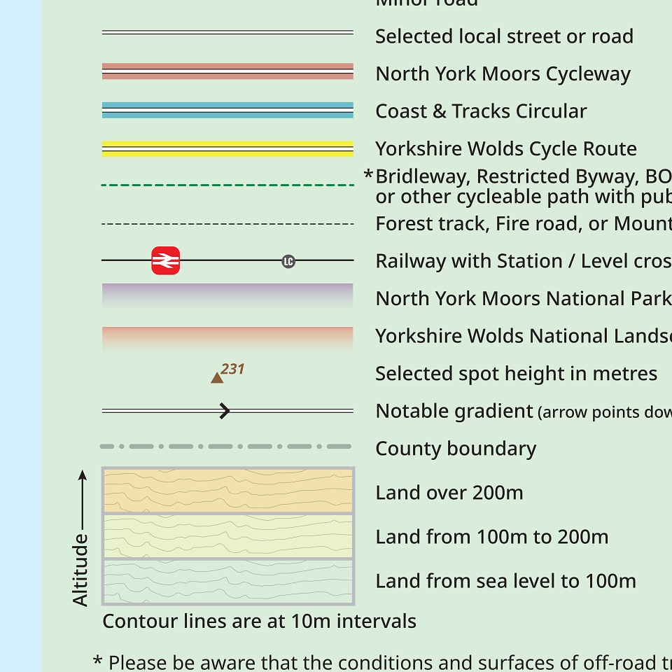
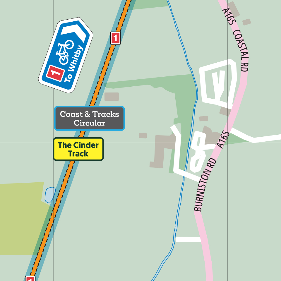
The regional map is at a scale of 1:100,000 and shows some selected signed cycle routes in the area, along with essential contour data, National Park boundaries, and 4 km ranging-rings centred on the town itself allowing cyclists to gauge how far away some destinations are.
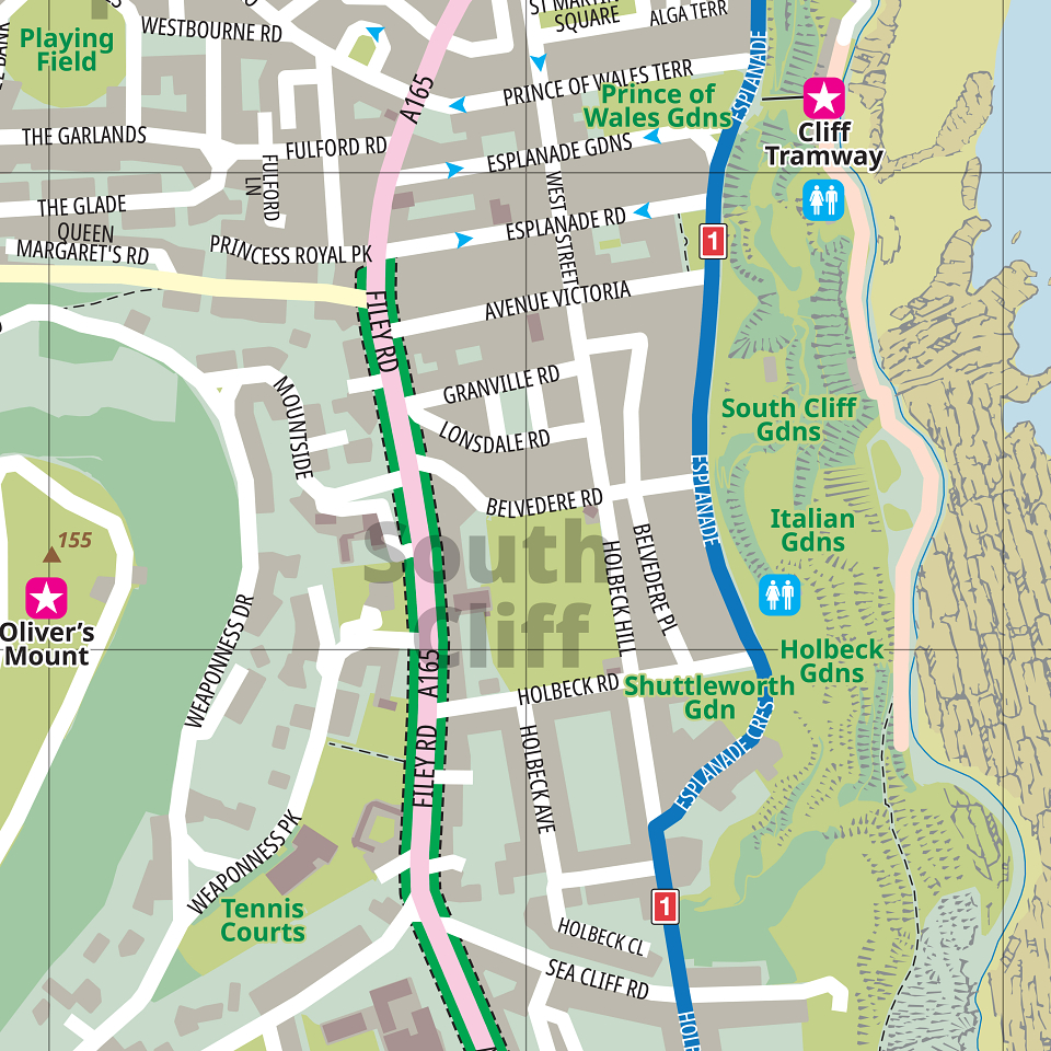
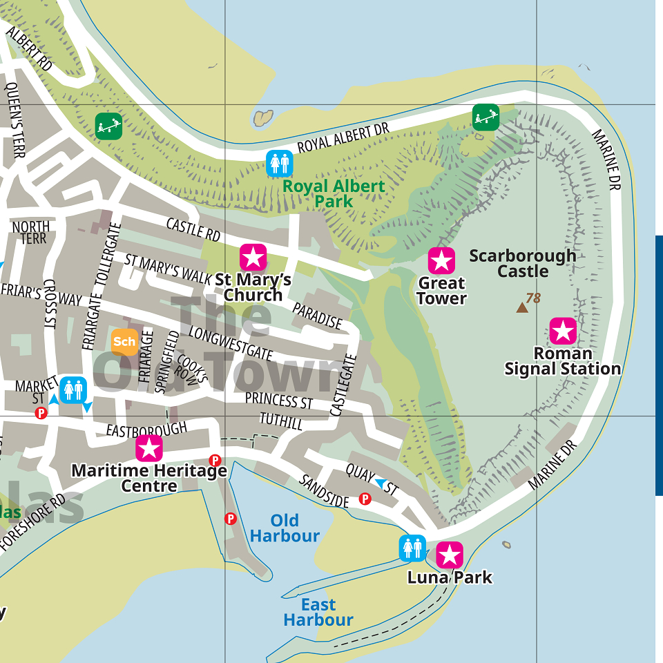
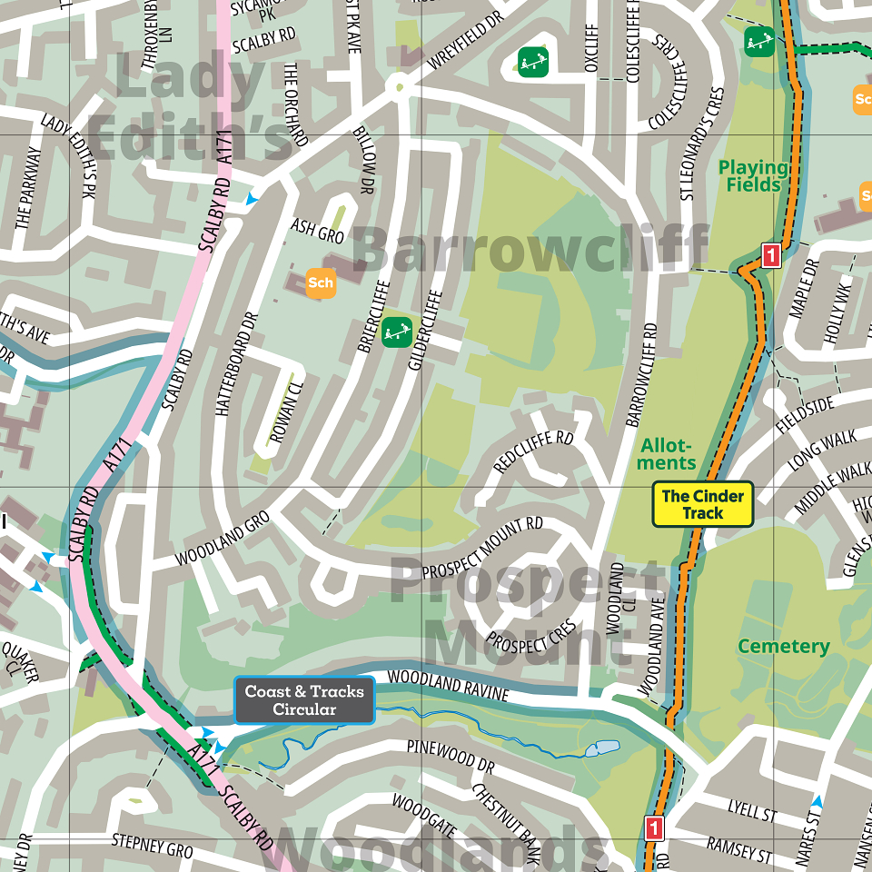
The map of the town shows all the available cycling infrastructure, as well as major cycling routes, in good detail. At 1:14,000, all the streets are named and all the many attractions are clearly labelled.
In order to maximise the coverage of the urban map, and to avoid showing too much sea, we gave it a slight false north.