Bek Cruddace
Illustrator & Designer
ABOUT
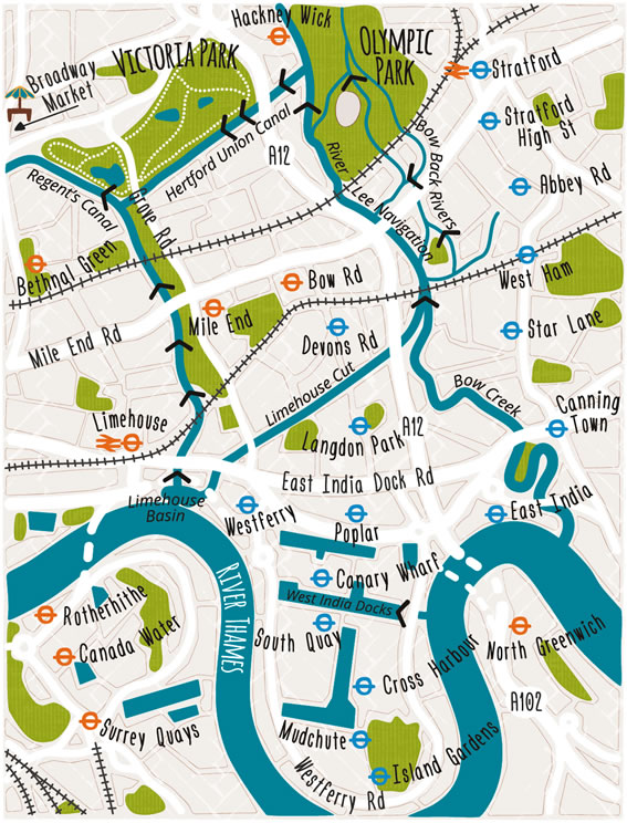
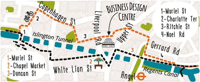
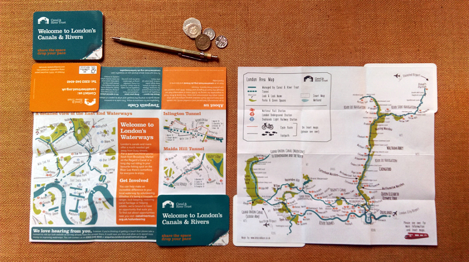
I designed 7 created a set of 3 illustrated inset maps & 1 network map showing the canals & waterways of the London Area. The maps were produced to be used in the new version of their folding maplet and show walking and cycle routes around 2 key areas of the London network as well as transport networks and local attractions.